P7300028.JPG
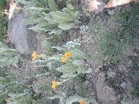
Wildflowers.
P7300029.JPG
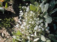
Wilderflowers.
P7300030.JPG
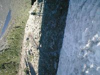
This is sort of time-lapse photography -- skipping past the ugly ridge traversal, past finding a trail (trail? trail! TRAIL!!) that apparently led to the peak and wasn't on our map, past dropping our packs at what would become our campsite for the night, past deciding to go for the peak despite the sinking sun and Kady's increasing foot pain. This is Independence Lake, to our east, looking back as we approached the peak.
P7300031.JPG
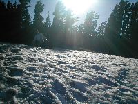
We skirted many small patches of snow along the peak trail, but there was one section where we simply couldn't ignore it: a field at least 50 feet long, and extending to a sheer drop on the left and most of the way around the mountain to the right. Also with a fairly steep, 20-30 foot rise. Rob broke out his rope and dusted off his mountaineering skill. I kicked snow steps, more for the walk back than for scrambling up, because sliding down steep snow onto non-snow sucks.
P7300032.JPG
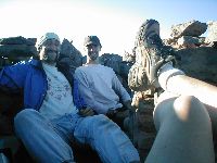
More time lapse: The final 200' or so of ascent was painful (for Kady) and emotionally draining. But we made it! This is us at one of the wind shelters on the peak. Here, I look stoned.
P7300033.JPG
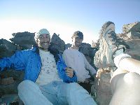
In this one, the Pixy Stix are kicking in.
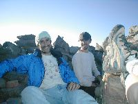
In the foreground of these pictures, you can see the evil pain-causey shoes.
P7300034.JPG
Third time's a charm: I look vaguely normal.
P7300035.JPG
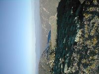
Peak view, looking east (note Independence Lake). The boulder in the middle foreground, right, has a gnarly, sheer drop-off on the far edge. It's the left-hand terminus of the snow field mentioned above.
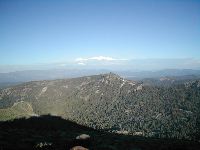
P7300036.JPG
Peak view, southeast. Note boulder.
According to SummitPost.org, this is the farthest north point from which you can see Lake Tahoe, and I believe it's the lighter patch in the far distance near the center.
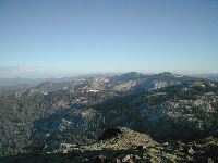
P7300037.JPG
Peak view, south. Truckee and Interstate 80 are about 10 miles This Way.
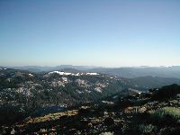
P7300038.JPG
Peak view, southwest.
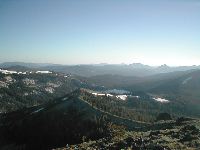
P7300039.JPG
Near-peak view, southwest and slightly downhill. The ridge down the center holds the continuation of the trail, which goes back down the other side of Mount Lola to White Rock Lake and ultimately to the Pacific Crest Trail. We didn't go that far; we turned around at the peak.
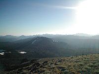
P7300040.JPG
Peak view, JSO west.
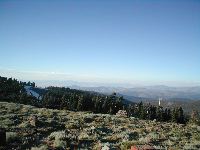
P7300041.JPG
Peak view, north. I had to skip west due to the setting sun. The ridge of Lola continues to the north at nearly the same height as the peak; there's a "Lola North" within a stone's throw that's the highest point in Sierra County (the peak proper is in Nevada County). We didn't visit it. Oh well.
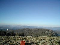
P7300042.JPG
Peak view, JNO east. Picture us slogging through that middle-foreground forest and breaking out into the open area on the right. Yeah, that was pretty much our morning.
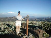
P7300043.JPG
Kady shows off her l33t peak climbing sk1llz.
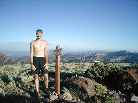
P7300044.JPG
Rob is a l33t p33k g33k too.
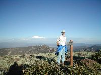
P7300045.JPG
Some random dork acting as though 9,148 feet is an achievement.
P7300046.JPG
This is photographic proof that they made me shotgun Pixy Stix. (I had brought a few up to the peak for a sugar boost, but the straws were starting to leak, so I was elected to drain them.)
P7300047.JPG
Pixy Stix are so strong, they can turn you into a pirate. Yarr!
Seriously, I think I was just trying to make a face at the sugar rush or something. I blame the Arrogant Bastard Ale for weird-facing me out. I didn't have any left over for the sugar.
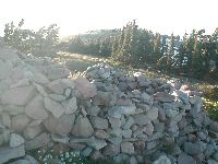
P7300048.JPG
Someone went to a lot of trouble to build a really nice wind shelter up on the peak. There were actually two, but this one was nice enough that it could serve as a mini-house in a pinch if you secured a tarp to the top.
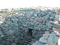
P7300049.JPG
The wind shelter even had a fireplace!
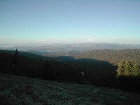
P7300050.JPG
Peak view, northeast. Sun too low for good lighting.
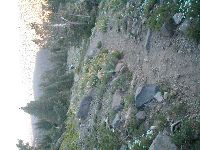
P7300051.JPG
Heading back downhill. The trail was clear, well-used, and bordered by more beautiful wildflowers.
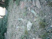
P7300052.JPG
Wildflowers. I believe this is lupine, but I could be wrong.
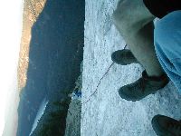
P7300053.JPG
The trip back down the snow field was ... interesting. Rob had chugged most of our bottle of Arrogant Bastard Ale and was at least mildly tipsy; I was hopped up on Pixy Stix; and Kady ... well, Kady's feet hurt. Fortunately, we coped. Between Rob offering an anchor point with his rope, and the snow steps that I'd kicked up the worst of the slope, we made it down without looking like dopes. Maybe they should elect us Pope.
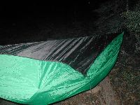
P7300054.JPG
And then ... the mosquitoes. dun dun duuuuuuun
The sun set, and despite being up on a ridge, we got proper swarmed. Guess we weren't quite far enough from Cold Stream for safety. Everyone had their own little armor to retreat to; the hammock was Rob's.